
Spatial ingest
Upload parsing and dynamic multi-datasource routing into PostgreSQL / Dameng.
 FuncGISSelf-built GIS Platform
Scale from lightweight demos to enterprise workloads on the same architecture. Built-in GIS services, MapLibre tooling, and online mapping for 2D/3D and indoor–outdoor fusion.
Elastic scale and private deployment—close the loop from ingest to published services.
On-demand resources: spin up demos fast, scale smoothly for government & enterprise loads.
Deliver in public cloud or dedicated environments for security and compliance.
Multi-source spatial fusion with MapLibre mapping and a ready GIS service engine.
From data ingest to map consumption across manage, service, and data planes.
Upload parsing and dynamic multi-datasource routing into PostgreSQL / Dameng.
Batch convert SHP / GeoJSON / GPKG / GeoParquet / DXF / KML via DuckDB Spatial—offline ready.
Vector MVT, raster TMS/WMS, WFS/WMTS with ticket auth and service publishing.
MapLibre thematic editor, style/font/sprite management, vector & satellite basemaps.
Apache Geode cluster for platform metadata and cache—Locator + CacheServer.
Packaged offline convert engines; PostgreSQL / Dameng with Kingbase path reserved.
Real screens from FuncGIS manage online mapping and login experience.
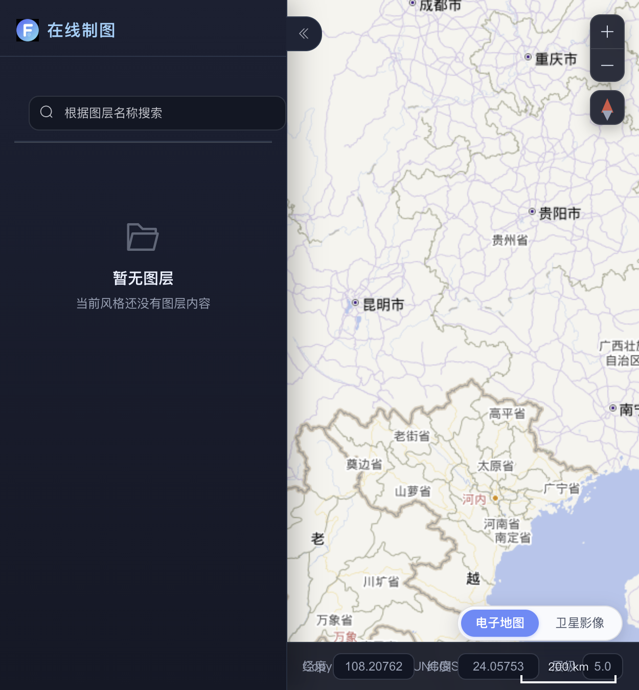
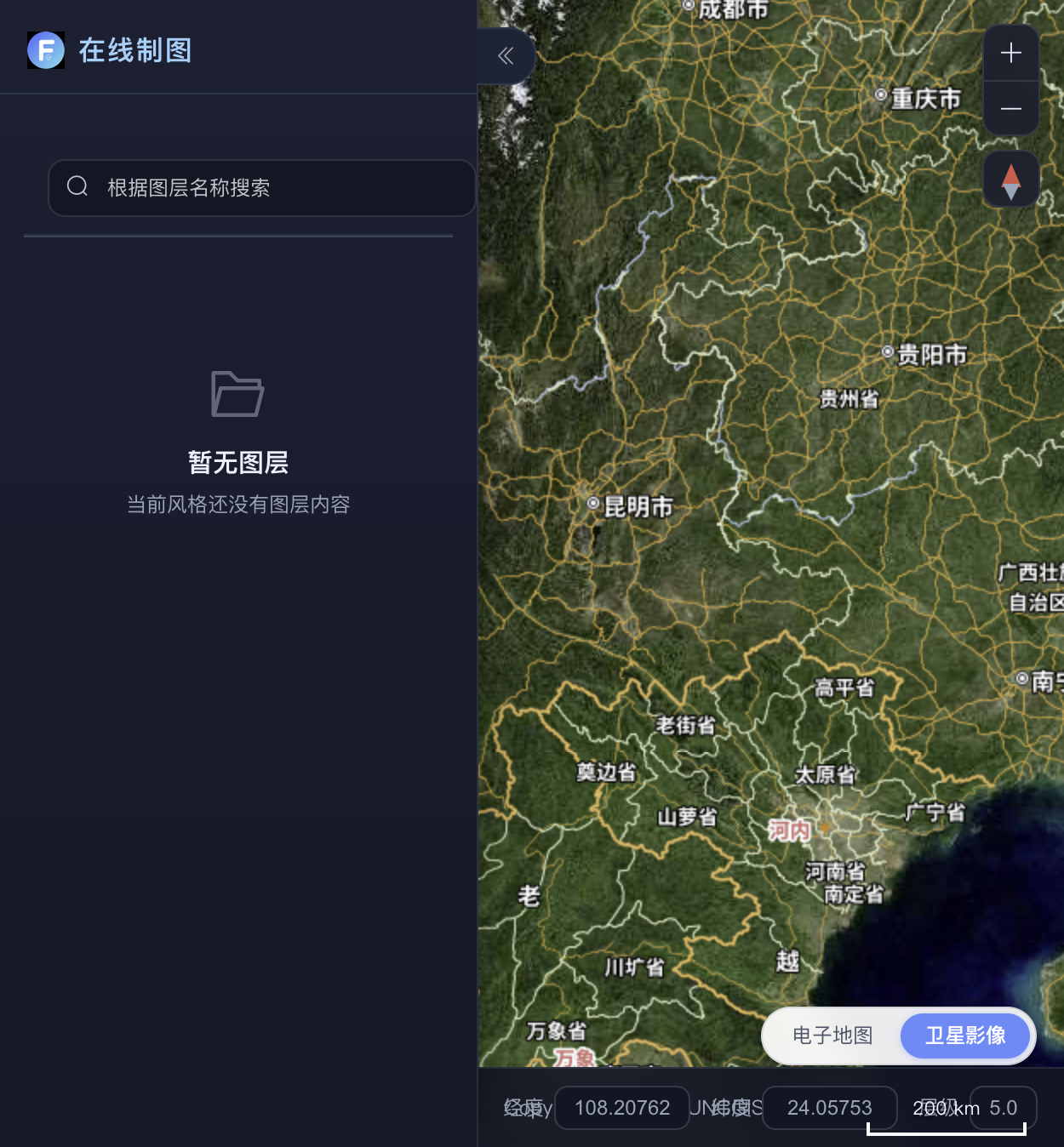

Manage · Core · Data · Cache planes working as one scalable GIS foundation.
Auth, data spaces, data/map/style/service orchestration, and admin ops.
Vector tiles, feature query/edit, raster and OGC APIs.
Format conversion, ingest workers, pre-tiling and basemap tiles.
Geode-backed distributed metadata and cluster discovery.
One platform capability set for multiple industry deliveries.
Asset spatial query, thematic mapping, and service publishing for grid GIS.
Multi-tenant data spaces, vector/raster ingest, domestic DBs, private networks.
Platform intro, operations manual, and service API notes.
Tell us your scenario—we’ll get back soon.